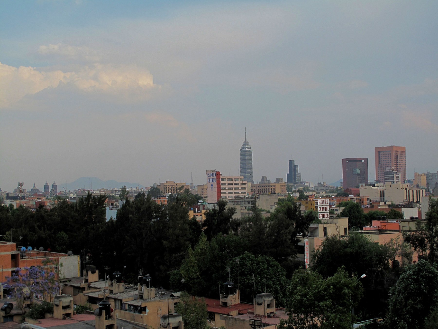
Thirsty Places: Mexico City
A city of twenty two million people built on a drained lake, sinking by up to half a metre a year because it drinks the ground beneath it, and pumping the rest of its water over a mountain range from a hundred kilometres away. What Mexico City's water is, why the pipes leak a third of it, why the wealthy have water and the poor have tankers, and what a city does when the ground itself is the reservoir it is emptying.
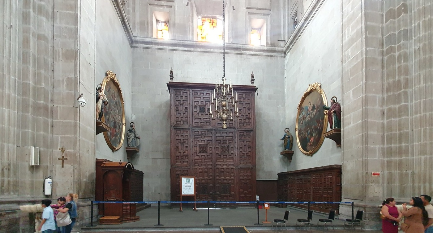
The Metropolitan Cathedral on Mexico City's main square has been sinking for four hundred years, and it has not been sinking evenly. The Spanish built it on the soft clay of a lake bed, on top of the ruins of the Aztec temple they had demolished, and it has settled by several metres since, more at one end than the other, so that the floor slopes and the towers lean. In the 1990s engineers spent years pumping mud from beneath the high side to level it, and it is still moving. So is everything else. The city around the cathedral is sinking, in places by up to half a metre a year, because it drinks the ground it stands on.
Mexico City is the largest city in North America and the one with the strangest water. This article is about a place that was a lake, that drained the lake, and that now pumps water over a mountain range to replace what it is taking from beneath its own feet.
A city on a lake
When the Spanish arrived in 1519, Tenochtitlan stood on an island in Lake Texcoco, a broad shallow lake in a closed valley two thousand metres above the sea, connected to the shore by causeways and supplied with drinking water by an aqueduct from springs on the hillside. The Aztecs managed the lake with dykes that separated its salty part from its fresh, and they farmed on floating gardens. The Spanish, after the conquest, found the lake flooded their new city every few years, and they set about draining it, through a canal and a tunnel cut through the valley's rim, a project that took from 1607 to the twentieth century to finish. By 1900 the lake was mostly gone. By 1950 the city had spread across its bed.
The bed is clay, saturated, and up to a hundred metres deep, and it is the reason for everything that follows. Below the clay is an aquifer of sand and gravel, which the city has drunk from since the 1850s, and as the water is pumped out, the clay above it drains and compacts, and the surface falls. The city centre has sunk by about ten metres since 1900. The rate has varied with the pumping, and in the fast growing eastern suburbs, where the clay is thickest and the wells are newest, it is now up to fifty centimetres a year, among the fastest anywhere in the world.
| Mexico City's water | |
|---|---|
| Population, metropolitan area | About 22 million |
| Share of supply from the aquifer beneath the city | Around 60 to 70 percent |
| Share from the Cutzamala and Lerma systems, pumped over the mountains | Around 30 percent |
| Cutzamala lift | Over 1,000 metres, across more than 100 kilometres |
| Network losses | About 40 percent |
| Subsidence, fastest districts | Up to 50 centimetres a year |
What sinking does
A city that sinks unevenly breaks. The metro's tunnels and elevated lines, built level, now dip and hump, and one line was closed for years after a collapse in 2021 in which the settlement of the ground was among the causes investigated. Buildings tilt. The drainage tunnel built in the twentieth century to carry the city's sewage and storm water out of the valley, which was built to flow downhill, has sunk faster at its upstream end than its downstream end, so that in places it now runs uphill, and the city has had to build a new deep tunnel, sixty kilometres long, to replace it.
And the pipes break. A water network laid in ground that moves by tens of centimetres a year cracks continuously, and the city's water system estimates that about forty percent of the water it puts into its pipes leaks out before it reaches a tap. Some of that leakage returns to the aquifer, which is a small consolation. Most is lost, and the leak repair crews cannot keep up with ground that never stops moving. The sinking is caused by the pumping, and the pumping is needed partly because of the leaks that the sinking causes. It is the tightest loop on this site.
Water over the mountains
The aquifer supplies about two thirds of the city and cannot supply more without sinking it faster, so from the 1940s the city reached outside the valley. The Lerma system brought water from a neighbouring basin to the west from 1951, and drained the lakes and springs of the Toluca valley in the process. The Cutzamala system, built from 1982 onwards, brought water from a chain of reservoirs a hundred kilometres to the south west, and it is one of the largest water pumping schemes in the world. The water is lifted more than a thousand metres over the mountains that ring the valley, through pumping stations and a tunnel, and the electricity to do it is among the largest single power bills in the country. Each cubic metre delivered to the city has climbed higher than the Eiffel Tower three times over.
The Cutzamala supplies about a fifth to a quarter of the metropolitan area, and when its reservoirs run low the whole valley feels it. In 2023 and 2024, after two poor rainy seasons, they fell below thirty percent, the national water commission cut deliveries, the eastern boroughs went on rationing schedules, and the city's press began to speak of a Day Zero of its own. The rains returned in the summer of 2024, as they did in Chennai and Cape Town, and the talk stopped, as it does.
Too much and too little
The valley that cannot supply its people also floods, and the two are the same failure. Mexico City sits in a basin with no natural outlet, on a lake bed, with a summer rainy season that drops most of the year's rain in a few months of afternoon storms, and the drainage of that water is as large a work as its supply. The Spanish tunnel, the Grand Canal of the 1900s, and the deep drainage of the 1970s all carried the valley's sewage and storm water north out of the basin, and each of them has sunk with the ground. The newest, the Emisor Oriente, a tunnel sixty two kilometres long and seven metres wide finished in 2019, was built because the older tunnels no longer flowed. In the rainy season the eastern boroughs flood, with the same water they will queue for in the dry season, because the paved city sheds its rain into the tunnels in hours instead of letting it soak into the aquifer that the wells are emptying. A city that stored its summer rain in the ground would sink less and flood less. Its whole drainage system was built to send that rain away.
The other city
What sets Mexico City apart from the other places in this series is the distribution rather than the engineering, remarkable as the engineering is. The valley's water does not reach its people equally, and the inequality is geographical and old.
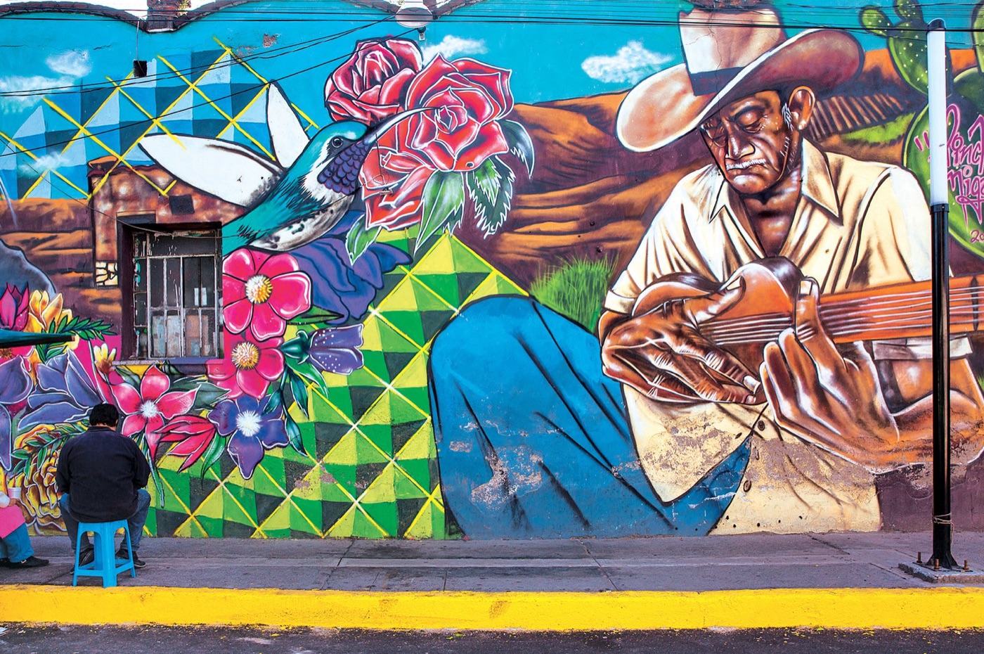
The western boroughs, on the higher ground near the old springs, where the wealthy live, have piped water around the clock at low pressure that they supplement with roof tanks and cisterns. The eastern boroughs, on the deepest clay, where the city grew fastest and poorest in the second half of the twentieth century, have water on a schedule called tandeo, a few hours on a few days a week, often brown from the pipes, and they buy the rest from tanker trucks, private or municipal, at prices per litre many times what the piped water costs. In Iztapalapa, the most populous borough, with nearly two million people, whole neighbourhoods depend on tankers for most of the year and on rain barrels in the summer. The people paying most for water, and drinking the worst of it, are the ones living on the ground that is sinking fastest because the city as a whole is pumping beneath them.
| Two halves of one city | West | East |
|---|---|---|
| Ground | Higher, firmer, near the old springs | The deepest clay of the lake bed |
| Piped supply | Most of the day | A few hours, a few days a week |
| Tankers | Rare | Routine |
| Cost per litre | Low | Many times higher |
| Sinking | Slow | Up to 50 centimetres a year |
What the city is doing
The answers being tried are the ones this series has met elsewhere, adapted to a valley that cannot be drained again. Rainwater harvesting, as in Chennai, has been fitted to tens of thousands of homes in the eastern boroughs by the city government and by a non profit whose systems have become a model, and in a valley with a wet summer the roofs can supply a household for months. Leak repair, the least glamorous and most valuable work in the system, has been funded in waves. The city's sewage, most of which still leaves the valley untreated to irrigate the fields of Hidalgo to the north, is beginning to be treated, at a plant at Atotonilco that is the largest in Latin America, and the reuse of that water within the valley is the next argument. And the recharge of the aquifer, by letting rain and treated water soak back into the ground instead of pumping it out through the drainage tunnel, is the only thing that can slow the sinking, and it is at the scale of pilot projects.
Whether any of it is enough is an open question. A study of a century of subsidence published in 2021 concluded that the clay has compacted so far that much of the sinking is now irreversible, and that the aquifer's storage will not recover even if the pumping stops. The city has, in the language of this site, spent its reservoir, and the reservoir was the ground.
What it teaches
Mexico City is the extreme case of a lesson that Chennai and the almond article both carry: that the ground under a place is a store of water, that it can be spent, and that spending it changes the place. Here the change is visible in the tilt of a cathedral and the closure of a metro line. The city cannot leave the valley and it cannot refill the lake. It can stop leaking, it can catch its rain, it can reuse its sewage, and it can share what it has more fairly than it does, and each of those is a decision rather than a discovery.
Fifty centimetres a year, in the districts that get the least water, in a city that was a lake.
Sources
- Chaussard, E. et al. (2021). Over a century of sinking in Mexico City: no hope for significant elevation and storage capacity recovery. Journal of Geophysical Research: Solid Earth 126. Subsidence rates up to about 50 centimetres a year.
- CONAGUA (National Water Commission) and SACMEX (Mexico City water system): sources of supply, Cutzamala capacity and pumping, and network losses of around 40 percent.
- Reporting by Reuters and the Associated Press, 2024, on Cutzamala reservoir levels below 30 percent and the rationing in the metropolitan area.
- Tortajada, C. (2006). Water management in Mexico City metropolitan area. International Journal of Water Resources Development 22.
- UN Habitat and the Mexico City government on the distribution of supply between boroughs and the tandeo rationing schedule.
- Photographs: opener: Mexico City Skyline (5604867225) by Francisco Anzola (CC BY) via Wikimedia Commons; inline: Side door - Right aisle - Metropolitan Cathedral of Mexico - Mexico 2024 by José Luiz (CC BY-SA) via Wikimedia Commons; inline: Mural iztapalapa by Iztapalapa mural (CC BY-SA) via Wikimedia Commons.