The 0.3%
Everyone learns at school that seventy percent of the planet is water. Almost none of it is water people can use. Where the rest is, why the small usable share never runs out, and why cities run dry anyway.
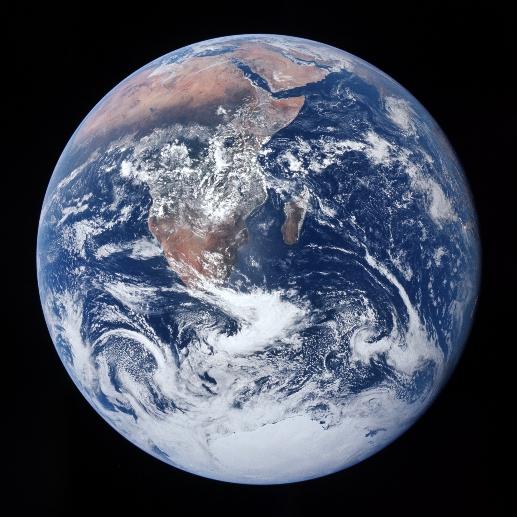
Somewhere in a classroom, everyone has seen the photograph of Earth from space, blue and white against black, and heard the sentence that goes with it: seventy percent of the planet is covered in water. The sentence is true. It is also the beginning of one of the most widespread misunderstandings about the world, because almost none of that water is water that anyone can use, and the small share that is has a very particular set of properties.
This article is the foundation of the series. Every footprint on this site is a claim on the water described here, and the arithmetic of where it is, how much of it there is and why it never runs out is worth getting right once.
Where the water is
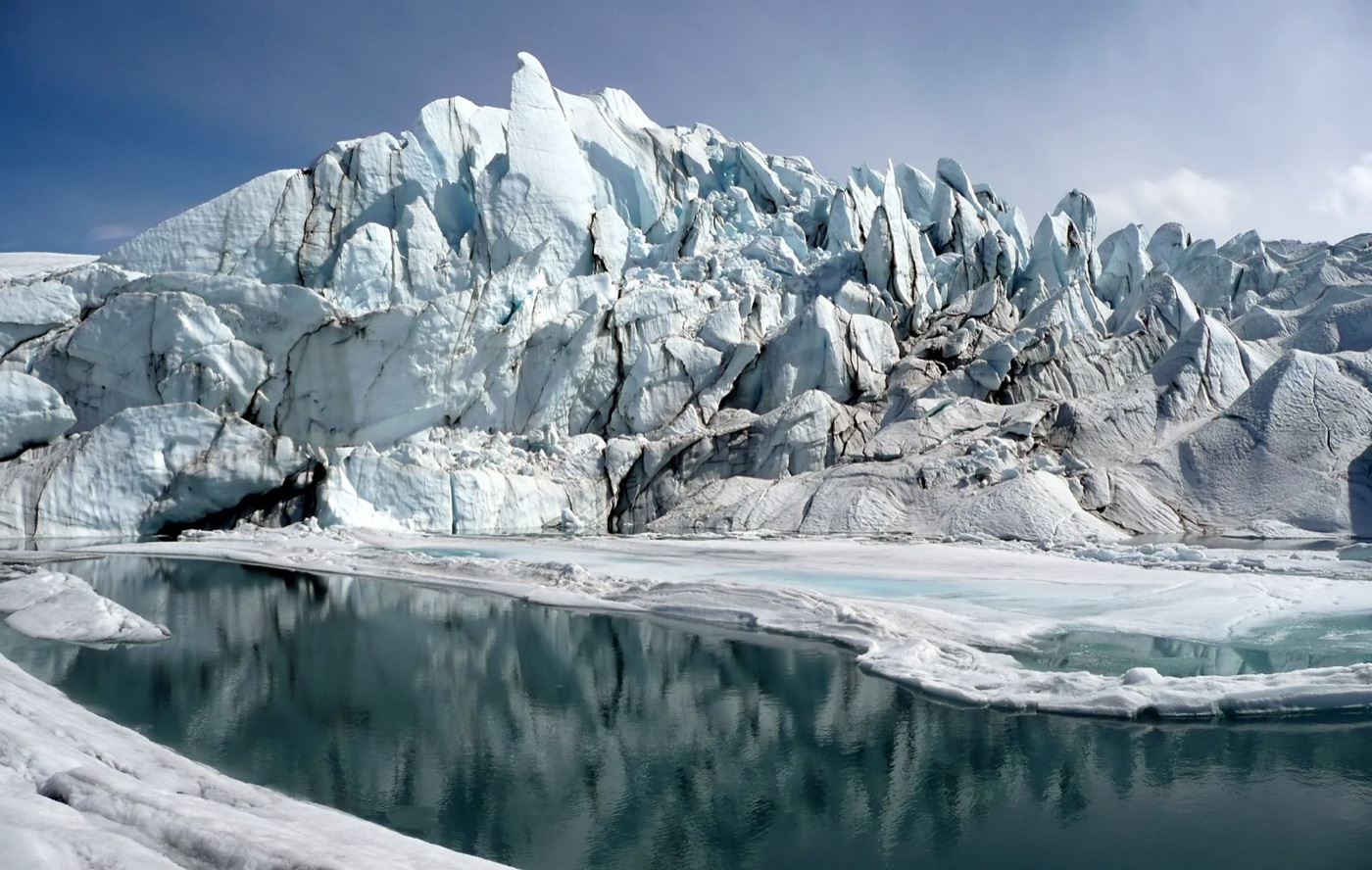
Of all the water on Earth, about 97.5 percent is in the oceans, and salt. The remaining 2.5 percent is fresh, and most of that is not available either: roughly seven tenths of it is locked in the ice sheets of Antarctica and Greenland and in glaciers, and most of the rest lies underground, a good part of it too deep or too slow to reach. What is left, the rivers, the lakes and the shallow groundwater that supply the great majority of what people actually use, is a fraction of a fraction.
| All the water on Earth | Share |
|---|---|
| Salt water, in the oceans | about 97.5% |
| Fresh, but frozen in ice sheets and glaciers | about 1.7% |
| Fresh, underground | about 0.75% |
| Fresh, in lakes and rivers | less than 0.01% |
| Of the fresh water only | Share |
|---|---|
| Ice sheets and glaciers | about 69% |
| Groundwater | about 30% |
| Lakes and rivers | about 0.3% |
The figure in the title is the last line of the second table. About 0.3 percent of the world's freshwater is in its rivers and lakes, and those rivers and lakes are where most of what people drink, irrigate with and run factories on comes from. Groundwater adds a great deal, where it is shallow and recharged, and the world's farms have leaned on it more and more. Even so, the water that eight billion people, all their farms and all their factories draw on is well under one percent of what the photograph from space shows, and it is scattered across the planet in a way the photograph does not reveal.
The part that never runs out
Here is the twist that most people have not been told. The small share of water that people use does not get used up. It comes back.
Water evaporates from the sea and the land, falls as rain and snow, runs through rivers and soaks into the ground, and returns to the sea to evaporate again. The cycle moves a colossal volume every year, and it delivers, onto the land, a renewable supply that is many times larger than everything people withdraw. The world's farms, cities and factories take about 4,000 cubic kilometres a year from rivers and aquifers, a figure that sounds enormous and is a small fraction of what falls. Around 70 percent of that goes to agriculture, about 20 percent to industry, and about 10 percent to homes and cities.
| What people withdraw each year | |
|---|---|
| Total, from rivers and aquifers | about 4,000 cubic kilometres |
| Agriculture | about 70% |
| Industry | about 20% |
| Homes and cities | about 10% |
So on a global average there is enough, and there will be enough next year, because rain will bring it back. A person who takes this in properly can stop worrying about the planet running out of water. That is not the problem. The problem is the word average.
Groundwater, the slow bank
The second table gives groundwater about 30 percent of the world's freshwater, a hundred times the rivers and lakes, and it is worth understanding why that large figure is less reassuring than it looks.
Groundwater is rain that soaked into the ground and is held in the pores of rock and sand, sometimes a few metres down, sometimes a kilometre. Where it is shallow and where rain reaches it every year, it behaves like a slow river: a well can draw on it indefinitely as long as it takes no more than the rain puts back. That is the groundwater that irrigates much of the world's food, and where it is managed within its recharge, it is the most reliable water there is, unaffected by a dry summer.
Where it is deep, or where the climate that filled it has gone, it is a different thing. The great aquifers under the Sahara, the Arabian peninsula and parts of the American High Plains were filled thousands of years ago, in wetter times, and receive almost no recharge now. Water pumped from them is being spent, not borrowed, and the wells that draw on them will one day be dry whatever the weather does. Somewhere between those two cases sit the aquifers under northwest India, the north China plain and California's Central Valley, which do recharge, but far more slowly than the pumps take from them, so that the water table drops year on year. Satellites that measure the Earth's gravity from orbit can see these regions losing weight.
| Three kinds of groundwater | |
|---|---|
| Shallow and recharged every year | A slow river; sustainable within its recharge |
| Recharged, but pumped faster than the rain refills it | A falling water table; northwest India, north China, California |
| Fossil water from a wetter climate | A one time account; the Sahara, Arabia, parts of the High Plains |
The 30 percent, in other words, is not a reserve to be drawn on. Part of it is a river that happens to be underground. Part of it is a bank account with no deposits. The footprint method's blue water, the pumped share of a crop's water, is where these distinctions surface in the things people buy.
Rain is not evenly spread
The other reason the global average misleads is that the rain itself is not shared out. The Amazon basin, the Congo basin and the islands of Southeast Asia receive a large part of all the rain that falls on land, and a small part of the world's people live there. The band of deserts across North Africa, the Middle East and Central Asia receives almost none, and it is home to hundreds of millions. Between them lie the monsoon countries, where a year's rain arrives in three months and has to be caught and stored, and the temperate regions, where it arrives all year and mostly looks after itself.
A country's water, then, is a matter of where it sits on the map and what falls on it, and no amount of engineering has changed that at scale. Desalination and reuse, the subjects of other articles here, add water at the margin, expensively, for cities and industry. The farms that use seventy percent of the world's water still depend on where the rain falls, and the rain falls where it always has.
So why do cities run dry
Water is the one resource that cannot be moved around the planet in any useful quantity. Oil goes on a tanker. Grain goes in a ship. Electricity goes down a wire. Water is heavy, cheap and needed in volumes that make transporting it over any real distance absurd: a city uses hundreds of thousands of tonnes of it a day, and the price of a tonne is a few cents. So water mostly stays where it falls. A river is a local fact. An aquifer is a local fact. The rain in the Amazon basin is no use to Cape Town.
That is why the global average is nearly meaningless and the local balance is everything. Some regions receive far more than they could ever use. Others receive very little and have built cities on it anyway, on rivers that other regions share, or on aquifers that took thousands of years to fill and are being pumped down in decades. Whether a place has water depends on what falls and flows locally, on what its neighbours upstream take, and on how much it has decided to spend, and none of that shows in the photograph from space.
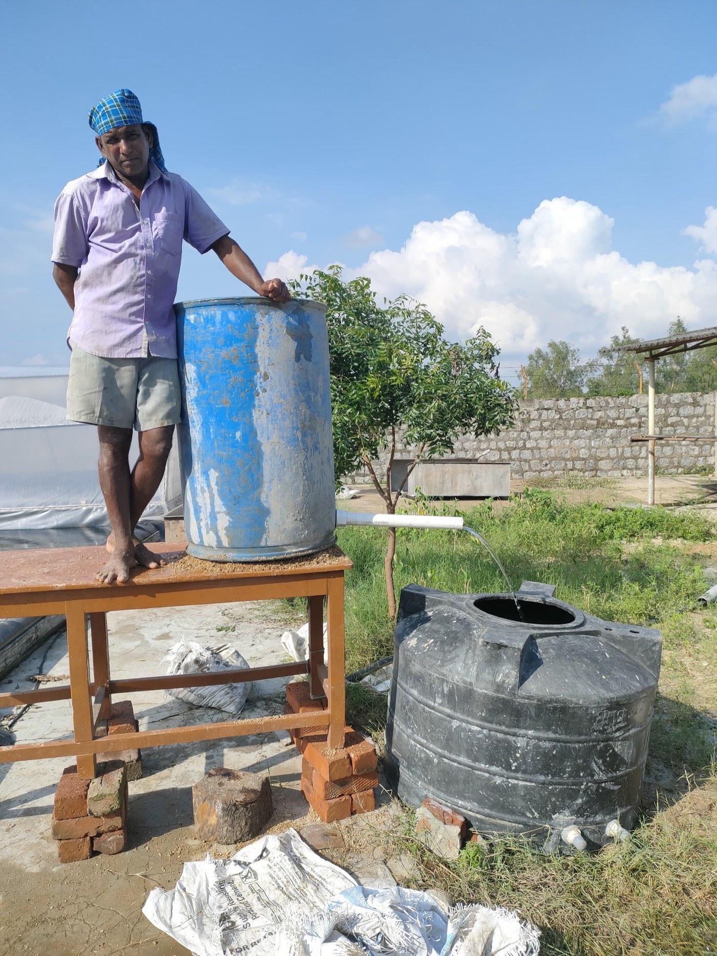
The same is true of the water in the things people buy. A cup of coffee's 140 litres is rain on an Ethiopian hillside, where rain is plentiful, or pumped groundwater in Vietnam, where it is not, and the number alone cannot say which. The whole method of this series, with its green water and blue water, exists to answer that question, because the 0.3 percent is thousands of separate pools rather than one, and the ones that matter are the ones being emptied.
Reading the map from space again
The photograph of Earth from space is still worth looking at, once the numbers are known, because it shows something the numbers do not. The blue is the ocean, which is salt. The white at the poles is most of the freshwater, frozen. The green and brown of the continents is where all the water that matters actually is, and it is invisible at that scale: rivers a few hundred metres wide, lakes that vanish into the land, and water in the ground that no camera can see. The planet is blue, and the water that people live on would not register in the picture.
What the number is for
The 0.3 percent is a small number, and it is easy to make it sound frightening. It is more useful as a sense of proportion. The water people can use is a thin film on a wet planet, it refills every year, and it is unevenly spread in a way that no technology has ever changed. Nearly everything difficult about water follows from those three facts. The rest of this series follows the thin film into the things people eat, wear and use, one at a time, and asks the only question that ever mattered about it: whose water, and from where.
Sources
- Shiklomanov, I.A. (1993). World fresh water resources, in Gleick, P.H. (ed.), Water in Crisis. Oxford University Press. The standard partition of the world's water, reproduced by the USGS Water Science School: about 97.5 percent saline; of freshwater, about 69 percent in ice, 30 percent groundwater, and roughly 0.3 percent in lakes and rivers.
- FAO AQUASTAT. Global freshwater withdrawals of about 4,000 cubic kilometres a year; agriculture about 70 percent, industry about 20 percent, municipal use about 10 percent.
- United Nations World Water Development Report. Regional distribution of water resources and stress.
- Photographs: opener: The Blue Marble, AS17-148-22727 by Harrison Schmitt / Apollo 17 (public domain) via Wikimedia Commons; Cesar Chu Ortega, from a farm in India; inline: Matanuska Glacier mouth by Sbork (CC BY-SA) via Wikimedia Commons.