Thirsty Places: Johannesburg
A city of six million built on a ridge with no river, which drinks water pumped three hundred metres uphill from a dam fed by tunnels through the mountains of another country, and which in 2024 ran its reservoirs dry with the dam full. Where Johannesburg's water comes from, why the mountains of Lesotho are in it, what the gold mines left in the ground, why the taps failed in a year of ordinary rain, and what a city loses when it stops fixing its pipes.
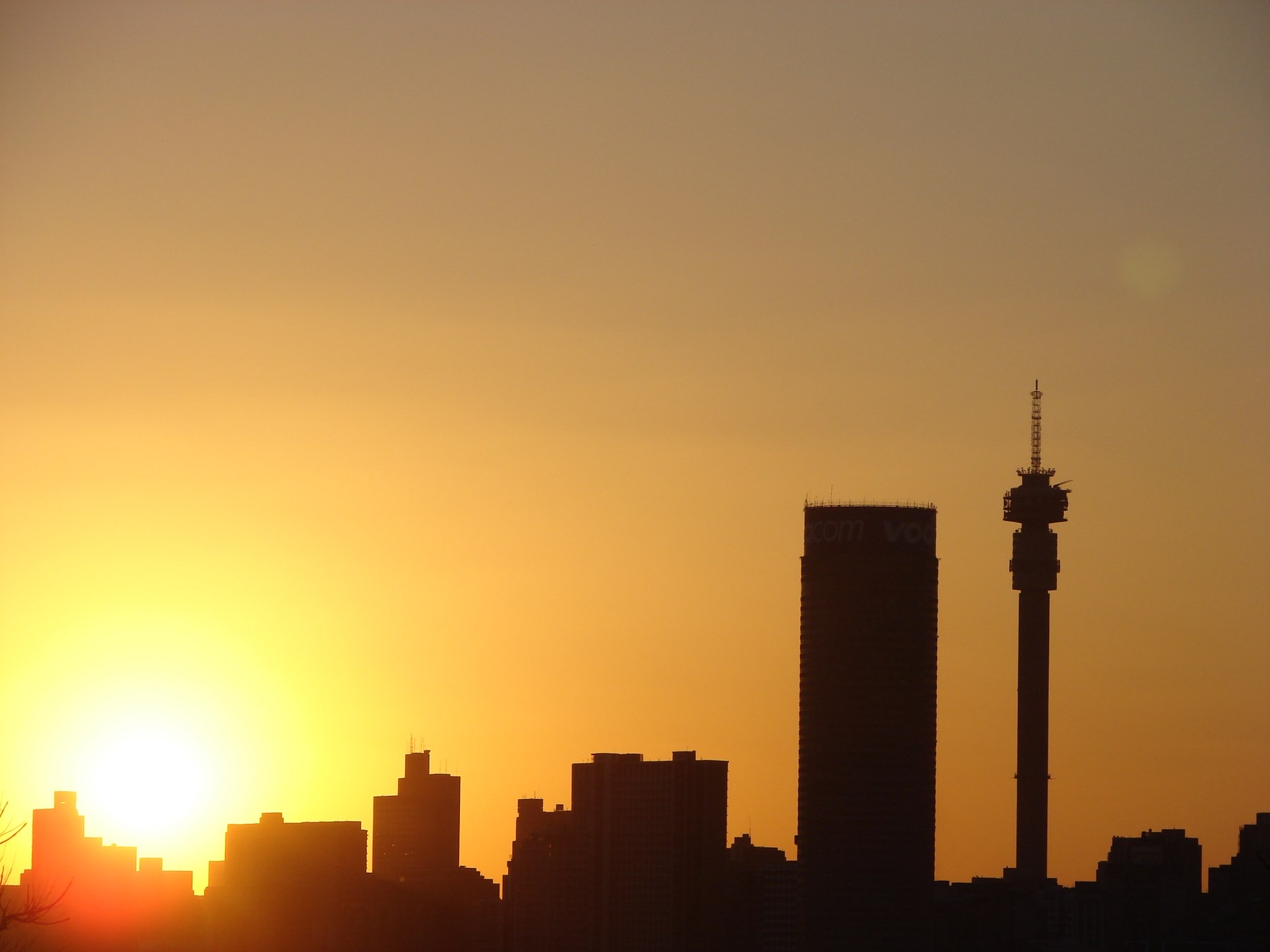
Johannesburg is the largest city in the world that has no river. It was founded on a ridge, the Witwatersrand, because that is where the gold reef broke the surface in 1886, and the ridge is a watershed: the rain that falls on its north side drains to the Indian Ocean through the Limpopo and the rain on its south side to the Atlantic through the Vaal and the Orange, and neither leaves a river a city could drink from. Six million people live on it now, sixteen million in the province around it, and every litre they use is pumped about three hundred metres uphill from the Vaal, seventy kilometres to the south, by a utility that runs the largest pumping operation in Africa.
This article is about where that water comes from, why the mountains of another country are in it, what the mines left under the ridge, and why a city with a full dam went without water in 2024.
A city with no river
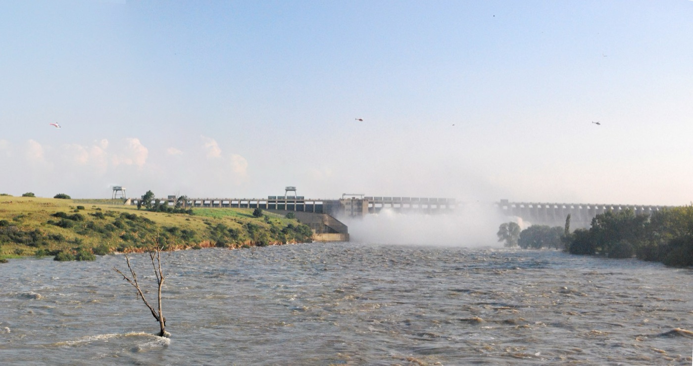
The Vaal is a modest river, and by the 1930s the mines and the city on the ridge had outgrown it. The Vaal dam was built in 1938 and enlarged since, and the utility that draws from it, Rand Water, treats the water at two enormous works on the river and pumps it north through pipelines up the escarpment to a ring of reservoirs on the high ground, from which it flows by gravity to the city. The lift is about three hundred metres, and the electricity to do it is the largest cost of the water. About 4,800 million litres a day are moved this way, to Johannesburg, Pretoria and the mining and industrial towns of the Rand, which together are the economic heart of the country.
The Vaal's own catchment could not supply that, and from the 1950s the engineers looked further: to the Tugela, pumped over the Drakensberg escarpment from the east, and, in the largest scheme of all, to the mountains of Lesotho.
| Johannesburg's water | |
|---|---|
| People | About 6 million in the city; 16 million in Gauteng |
| Source | The Vaal river system, 70 kilometres south, about 300 metres lower |
| Supplied by Rand Water | About 4,800 million litres a day, to the province |
| Vaal system inflows | Lesotho Highlands tunnels, the Tugela transfer, the Vaal's own catchment |
| Non revenue water, Johannesburg | About 40 to 46 percent |
| 2024 | Reservoir failures and days without water, with the dams full |
The mountains of Lesotho
Lesotho is a small, poor, mountainous kingdom entirely surrounded by South Africa, and its mountains catch the rain that the plateau below does not. The Lesotho Highlands Water Project, agreed by treaty in 1986 and built through the 1990s and 2000s, dammed the headwaters of the Orange river in the Maluti mountains, at Katse and Mohale, and drove tunnels through the range to deliver the water north into the Vaal's catchment, about 780 million cubic metres a year, close to half of what the Vaal system now supplies. Lesotho is paid for the water and gets electricity from the tunnels' turbines; South Africa gets water that flows to the Vaal by gravity and needs only the last lift to the ridge. The second phase, a dam at Polihali that will add nearly as much again, has been under construction since the late 2010s and is years behind, and the Vaal system has been running close to its limit while it waits.
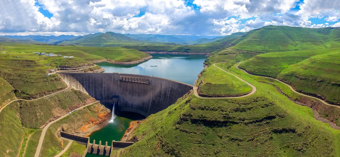
The arrangement is the largest transfer of water between two countries in Africa, and it is a dependence the treaty was written to manage. In 1998 South African troops entered Lesotho during a political crisis, and among the places they went first was the Katse dam.
The water under the ridge
The gold mines that made Johannesburg went down four kilometres into the reef and, for a century, pumped out the water that seeped into their tunnels. As the mines closed, from the 1990s, the pumping stopped, and the tunnels of the Witwatersrand basins have been filling since. The rock is rich in pyrite, and water on pyrite in air makes sulphuric acid, which leaches iron, manganese, uranium and other metals out of the reef, so that what is rising in the old workings is acid mine drainage of the kind the tailings article on this site describes, at a scale of millions of litres a day. In the Western basin it reached the surface in 2002 and ran into a stream that feeds a nature reserve. In the Central basin, under the city itself, it was rising toward the level at which it would reach the foundations and the groundwater, and the government built pumping and treatment plants in the 2010s to hold it down, neutralised with lime and discharged, still salty, into the rivers.
The plants will have to run for as long as the water rises, which is forever, and their cost falls on a state that did not make the profit. It is the mine tailings story in another form, and it is under the city's feet.
| Water in the Witwatersrand mines | |
|---|---|
| The reef | Gold in pyrite rich rock, mined to 4 kilometres |
| While mining | Water pumped out continuously for a century |
| After closure | Tunnels flooding; water on pyrite becomes acid |
| Western basin | Acid water reached the surface in 2002 |
| Central basin | Held below the city by pumping and lime treatment since the 2010s |
| For how long | Indefinitely |
2024
In the southern summer of 2023 and 2024 the Vaal dam was full, and Johannesburg went without water. The failures were in the last twenty kilometres. A heatwave raised demand past what the pumps from Rand Water's reservoirs could lift; the city's own reservoirs, on the high ground, emptied faster than they filled; and the reservoirs could not hold what they had because the pipes below them, many of them a century old, leak or feed illegal connections at a rate the utility puts at more than forty percent of everything it receives. Suburbs in the north and south went for days, in some cases more than a week, with dry taps and tankers in the street. Hospitals trucked water in. The city's utility said it needed tens of billions of rand to replace the pipes and had a fraction of that, because the tariff had been held down, the collections were poor, and the money that was collected had gone elsewhere.
The cause of the crisis, in other words, was the crisis of every article on this site about a city that stopped maintaining its network: a supply that was adequate, delivered through a system that had been run to failure. Rand Water can pump the Vaal to the ridge. It cannot fix the pipes on the other side of the meter, and the city that owns them had not.
Water shifting
The city's answer, for now, is what it calls water shifting: closing valves at night to let the reservoirs recover, and rationing by pressure across suburbs in turn, which is the Nairobi rota under another name. The longer answer is the pipe replacement programme that every audit has recommended and no budget has funded, the fixing of the leaks that would, on their own, give the city a third more water without a litre more from Lesotho, and the recovery of a utility whose skilled engineers left through the 2010s. Polihali, when it is finished, will add water to the Vaal. The reservoirs on the ridge will still leak.
The townships and the tankers
The failures of 2024 fell hardest where they always do. The northern suburbs with their boreholes, rainwater tanks and the money for a delivery ran their gardens through the outage; Soweto, Alexandra and the settlements on the city's edge, where a standpipe serves a street and a household's storage is a bucket, waited for the municipal tanker, which came late and left early, and paid the informal sellers who filled the gap at prices the Nairobi article on this site describes. The province's own audit found that the same suburbs had been on intermittent supply for years before the crisis reached the north and the newspapers, and that the complaints had been logged and closed. A network run to failure fails first at its ends, and the ends of Johannesburg's network are where the people without a borehole live.
The other cost was to the hospitals and the schools. Several of the city's largest hospitals ran on tankers and boreholes for days, postponed surgery and moved patients, and the government's answer was to drill for them, which is the answer of a state that no longer trusts its own pipes. A city that pumps three hundred metres uphill from another country's mountains and then tells its hospitals to sink wells has lost the argument with itself about what the utility is for.
What it teaches
Johannesburg is the city on this site that shows what happens when the supply is engineered and the network is not. The water is brought from the mountains of another country, tunnelled under a range, pumped three hundred metres up a ridge, and lost, close to half of it, in the last few kilometres of pipe. The dam was full and the taps were dry, and the difference between the two was maintenance. Under the city, meanwhile, the water that the gold mines left is rising, and it will have to be pumped for as long as the city stands.
Three hundred metres uphill, half of it lost in the pipes, and acid rising in the tunnels below.
Sources
- Rand Water, annual reports and Integrated Annual Report 2023: about 4,800 million litres a day supplied to Gauteng; pumping from the Vaal river system to reservoirs on the Witwatersrand.
- Lesotho Highlands Water Project, Treaty of 1986 and Phase 2 documents: Katse dam (1998), Mohale (2003), Polihali (under construction); 780 million cubic metres a year to South Africa.
- Johannesburg Water, annual reports and Water Services Development Plan: non revenue water about 40 to 46 percent; pipe replacement backlog.
- Department of Water and Sanitation, South Africa, Blue Drop and No Drop reports 2023.
- Council for Geoscience and Department of Water Affairs, acid mine drainage in the Witwatersrand goldfields: the Western, Central and Eastern basins.
- Photographs: opener: Johannesburg-city-skyline-night by Frankbel (CC BY-SA) via Wikimedia Commons; inline: Katse Dam by SkyPixels (CC BY-SA) via Wikimedia Commons; inline: View Of The Vaal Dam with 14 Sluice Gates Opened 2010 by Michael Gundelfinger (CC BY-SA) via Wikimedia Commons.